Live
Real-Time Fleet Positions
Equipment locations and status straight from the FMS, with trails, replay, and heat maps. The control room view, available to anyone you choose.
 BCMMINING TECHNOLOGY
Home / Platforms / Live Mine Map & GIS
One map, shared by everyone: live equipment positions from your fleet management system, this month's orthomosaic, design surfaces, restricted areas, and field data, in a browser, with no per-seat licences deciding who gets to see the mine.
Capabilities
Equipment locations and status straight from the FMS, with trails, replay, and heat maps. The control room view, available to anyone you choose.
Fresh orthomosaics, CAD design surfaces, dig limits, restricted areas, and survey products, layered and versioned on QGIS, GeoServer, and PostGIS.
QField tools for crews in the pit: capture, inspect, and sync back to the office, offline-capable for the corners of the property radio forgot.
Engineering, dispatch, geology, and management all see the same map. Access control by role, not by licence count.
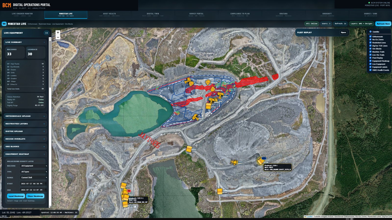
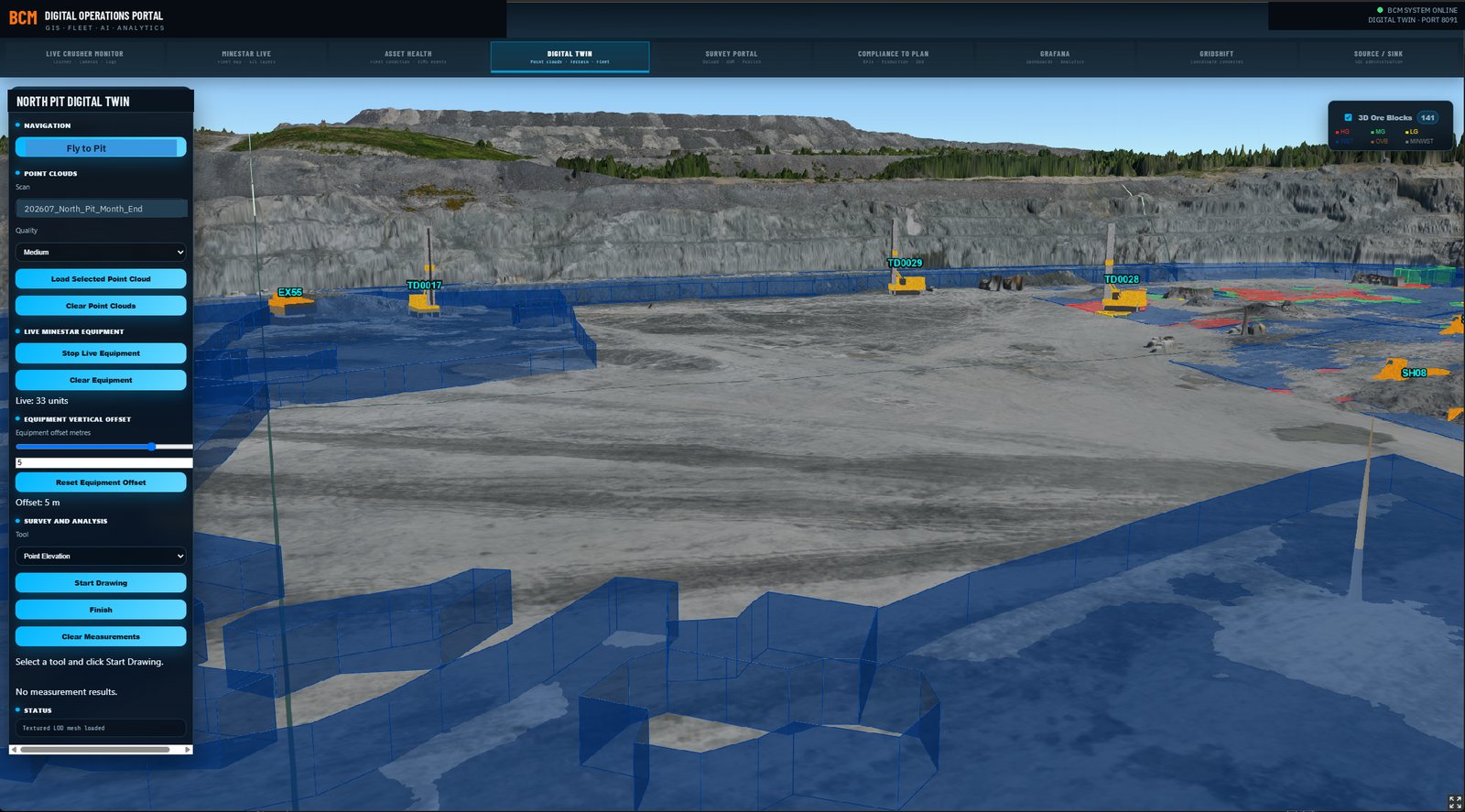
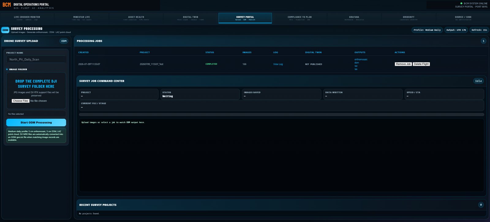
Screenshots from production systems. Site identifiers, serial numbers, and personnel details have been altered.
Why it pays
Desktop GIS and viewer seats typically run $15k to $40k per seat, per year, which quietly decides who in the operation is allowed to look at a map. A web portal on your own server removes the question.
Printed plots that were right last month. A living map that everyone trusts ends the version argument for good.
Delivery
Next step
Tell us what your operation runs for fleet management and survey, and we will sketch what the shared map looks like on your infrastructure.